Finding Antarctica: Mapping the Last Continent
In 2011 Australia celebrates 100 years of Australian expeditions to the Antarctic. The Australasian Antarctic Expedition (AAE), which departed from Hobart in December 1911 and was led by Sir Douglas Mawson, was the first Australian-led Antarctic expedition.
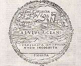
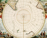
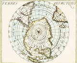
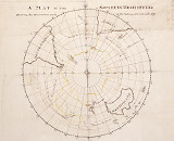
In celebration of this centenary, this exhibition will focus on the mapping of Antarctica from the 15th to the 21st century, from crude woodcut maps to the latest satellite imagery. The exhibition will tell the story of the gradual discovery, exploration and charting of this significant land mass.
The exhibition will showcase the magnificent collection of rare maps and charts held by the State Library, accompanied by rare published accounts and original sketches from Antarctica exploration by Cook, d'Urville, the United State Exploring Expeditions and the Australasian Antarctic Expedition.
The Library has an amazing collection of material on the Australasian Antarctic Expedition due to a number of significant acquisitions over the past 100 years. A substantial collection of the official papers of the Expedition team were also deposited with the State Government of New South Wales, in exchange for the State undertaking to publish the remaining records of the expedition team.The records were subsequently transferred to the State Library. A selection of this material will be in display as part of the exhibition.
