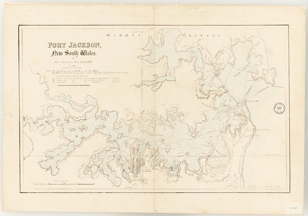
Port Jackson, New South Wales
1822
Printed map
Sydney: Lithographed by R Clint, [182-?]
Bequest of Sir William Dixson, 1952
DL Z/Cb 83/1
Printed map
Sydney: Lithographed by R Clint, [182-?]
Bequest of Sir William Dixson, 1952
DL Z/Cb 83/1
In 1817 John Septimus Roe was posted as a master's mate to the surveying service in NSW, then under the command of Phillip Parker King. He arrived in the colony in September and over the next three years conducted three hydrographic coastal surveys, which included circumnavigating Australia. He was appointed lieutenant in April 1822, the same year he made this chart.
The chart provides a survey of Port Jackson from the Heads west to 'The Flats' (Homebush Bay). It shows the soundings, or the depth of the harbour, recorded in fathoms, tidal changes and the western and eastern channels near the entrance to the Heads.


 Back to list